The NYC Subway Map: How to Read It, What It Costs and Where the Lines Actually Go
The New York subway map looks like colored spaghetti until you know three things: the colors group trunk lines, the letters and numbers distinguish services, and the dotted versus solid circles tell you which stops a train makes. Here is how to read it, what a ride costs in 2026, and where the crowds actually are.
Short answer
The NYC subway map groups lines by color along shared trunk corridors, names each service with a letter or number, and marks local stops with solid circles and express or skipped stops with open ones. A ride costs $3.00 with OMNY, and a rolling $35 weekly cap replaces every pass you might remember buying.
The New York subway map is the single most consulted piece of paper in the city, and the version most visitors carry in their heads is years out of date. The system carried 1,281,883,362 rides in 2025, and the way you pay for it changed completely on 1 January 2026, when the MetroCard stopped being sold altogether. The map itself has quirks too: the colors are not decoration, the letters and numbers are not arbitrary, and the difference between a local and an express train can add an hour to a badly planned day.
This guide covers how to read the map, what a ride costs, how the fare cap works, which stations the crowds actually use, and how to get in from each airport. It is written to be checked on a platform, not studied at a desk.
How to Read the NYC Subway Map
The New York subway map colors lines by trunk corridor, not by individual route, so several services share one color where they run together. Each service keeps its own letter or number, which is what the front of the train and the platform signs display. Solid black circles mark local stops, and open white circles mark stations where express trains skip the platform, so the fastest ride often means checking the circles, not just the color.
Start with the trunk logic. The red lines, the 1, 2 and 3, run down the West Side of Manhattan. The blue lines, the A, C and E, run along Eighth Avenue and then out toward the airports' side of the world. The yellow N, Q, R and W hug Broadway, and the green 4, 5 and 6 run up Lexington Avenue on the East Side. Where two services share a color, they share a corridor but not necessarily a stopping pattern.
That stopping pattern is the detail that catches people. The 4 train runs express in Manhattan while the 6 runs local along the same Lexington Avenue trunk; the 6 stops at every station, the 4 skips the smaller ones. The same split exists on the West Side between the local 1 and the express 2 and 3. If your destination is a small station, an express train can carry you past it, and the fix is reading the circles on the map before you board.
| Color | Services | Manhattan trunk | Pattern |
|---|---|---|---|
| Red | 1, 2, 3 | 7th Avenue / Broadway | 1 local, 2 and 3 express |
| Blue | A, C, E | 8th Avenue | A express, C and E local |
| Green | 4, 5, 6 | Lexington Avenue | 4 and 5 express, 6 local |
| Yellow | N, Q, R, W | Broadway | N and Q express, R and W local |
| Orange | B, D, F, M | 6th Avenue | D express, B and M skip-stop by section |
| Purple | 7 | 42nd Street | Local and express variants of the same line |
Two more conventions matter. Uptown and downtown are the directional words New York uses, not north and south, and every platform sign tells you which one you are heading. And the dotted lines you see in the outer boroughs, particularly in the Rockaways and on the Staten Island railway connection, are services that run at reduced frequency, so a dotted segment on the map is a hint to check a schedule rather than assume a train every few minutes.
For a deeper treatment of the system beyond the map itself, the guide to riding the NYC subway covers etiquette, timing and the practical habits that make the system easy, and the OMNY explainer covers payment in detail. This page stays on the map and the numbers.
What a Subway Ride Costs in New York
A single subway or local bus ride costs $3.00, paid by tapping a contactless card or phone with OMNY, and there is no pass to buy any more. After 12 paid rides on the same card or device within seven days, or once your fares total $35, every further subway and local bus ride that week is free. The cap starts with your first tap and resets on a rolling window.
The fare table is short, and every figure below comes from the MTA's own published fares.
| Item | Price | Notes |
|---|---|---|
| Subway or local bus, single ride | $3.00 | OMNY tap, contactless |
| Express bus, single ride | $7.25 | Separate $67 weekly cap |
| Paper Single-Ride OMNY ticket | $3.50 | From a machine, valid 2 hours, no subway-to-bus transfer |
| Weekly OMNY cap | $35 | Automatic, no pass to buy |
| Reduced fare (seniors 65+, eligible disabled riders) | $1.50 | Subway and local bus, all times |
| Children under 44 inches | Free | Up to three with a fare-paying adult |
The free transfer rule is generous and worth knowing. One free transfer within two hours applies between subway and bus in either direction, and between buses. There are also two out-of-system transfers where you walk between stations and tap again without being charged, between Lexington Av/59 St and Lexington Av/63 St, and between Junius St and Livonia Av. The paper Single-Ride ticket is the trap: it costs more and does not include the subway-to-bus transfer.
OMNY, Fare Capping and the End of the MetroCard
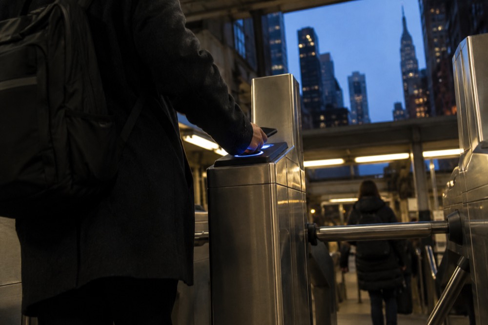
The MetroCard stopped being sold or refilled on 1 January 2026, so no visitor arriving today can buy a 7-day unlimited, because that product no longer exists. The replacement is automatic fare capping: tap the same card or phone for every ride, and once you hit $35 in a rolling seven-day period, the rest of that week's subway and local bus rides are free. Nothing needs to be purchased in advance.
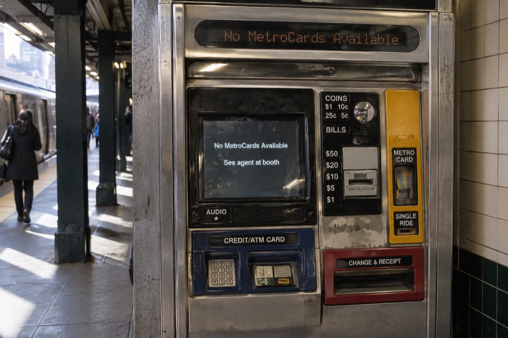
The MTA's own wording is blunt: "MetroCard is retiring. As of January 1, 2026, you can no longer buy or refill a MetroCard." Anyone holding an old 7-day or 30-day unlimited had to start using it by 31 March 2026. Remaining balances can be transferred to an OMNY card at a customer service center or refunded. Almost every guide on the web still quotes a 7-day unlimited price; that number describes a product you cannot buy.
The cap has rules that matter. You must tap the same physical card or the same device every single time: mixing your phone and the plastic card in your pocket breaks the cap silently, and the MTA will not merge the totals afterward. Group travel does not pool either. Each person needs their own card or device to earn their own free rides, so a family of four shares nothing.
| Fare product | Status in 2026 | What replaced it |
|---|---|---|
| 7-day unlimited MetroCard | Not sold since 1 Jan 2026 | $35 automatic OMNY weekly cap |
| 30-day unlimited MetroCard | Not sold since 1 Jan 2026 | OMNY capping, 30-day window |
| Pay-per-ride MetroCard | Not sold or refilled | OMNY tap with any contactless card |
| OMNY Card (reloadable) | Available, $1 introductory | Same capping as a bank card |
For a full walkthrough of the payment system, see how to get around NYC, which compares the subway with buses, ferries and cabs on cost and speed.
The Busiest Stations on the Map
Times Sq-42 St is the busiest station complex in the system, with 61,203,303 riders in 2025, which is 71% more than Grand Central-42 St at 35,764,931. Penn Station does not appear in the top five at all, because the MTA counts it as two separate complexes, the A C E side and the 1 2 3 side, and even combined they barely edge Grand Central.
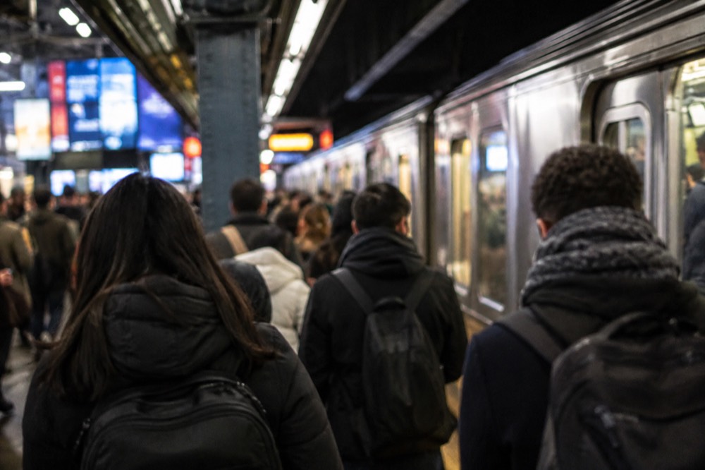
The ridership data also upends the standard advice about when the subway is busy. Weekday ridership in 2025 averaged 4,001,735, only 73% of 2019 levels, while weekend ridership averaged 4,831,140, which is 88% of 2019. On buses the picture actually flips: average weekend bus ridership, 1,598,000, now exceeds average weekday bus ridership, 1,396,000. Hybrid work hollowed out the commute, and the weekend is when the system runs closest to its old fullness.
| Station complex | 2025 riders | Share of 2019 pattern |
|---|---|---|
| Times Sq-42 St | 61,203,303 | Tourist and theater traffic dominant |
| Grand Central-42 St | 35,764,931 | Commuter core |
| 34 St-Penn Station (A C E) | 19,915,971 | Counted separately from the 1 2 3 side |
| 34 St-Penn Station (1 2 3) | 17,808,404 | Combined, both sides total about 37.7m |
What this means for reading the map: the stations clustered around Times Square, the red, yellow and purple lines' crossing point, are where crowding concentrates on evenings and weekends, not Monday mornings. If your hotel sits on a quieter trunk, the green Lexington Avenue line or the orange Sixth Avenue services, your platform experience will be calmer than the map's busiest interchange.
Six of the ten free walks on GuruWalk in New York touch Midtown stations, and several belong to a single operator, CityShuffles, so treat the free-walk menu as concentrated rather than vast. The Times Square, Grand Central and Rockefeller walk on GuruWalk is a natural fit for a day spent around the system's busiest interchange, since it links the two stations whose ridership numbers lead the table above.
Getting from Each Airport to Manhattan
The cheapest airport run in New York is LaGuardia's, at $3.00 total, because the Q70 LaGuardia Link bus is free and connects every terminal to the subway. JFK costs $11.75 end to end, since the AirTrain adds $8.75 on top of the subway fare. Newark is the priciest rail option at $16.80 from Penn Station, and its AirTrain is currently replaced by shuttle buses on weekdays between 5am and 3pm.
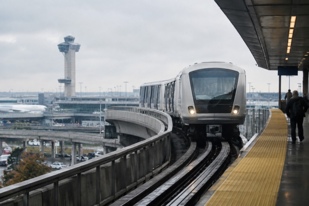
The map does not show the airports well, so here is the plain version. From JFK, take the E, J or Z to Jamaica or the A to Howard Beach-JFK, then the AirTrain into the terminals; the AirTrain fare is charged on exit and cannot be covered by any unlimited product, because none exists. From LaGuardia, the free Q70 runs from the airport to the Jackson Heights and Woodside subway stations, where the 7, E, F, M and R connect to Manhattan. The M60-SBS also runs all the way from uptown Manhattan to every terminal for a single $3.00 fare.
| Airport | Cheapest rail route | Total cost | Watch out for |
|---|---|---|---|
| LaGuardia | Free Q70 bus + subway | $3.00 | Bus lanes make it faster than a cab at rush hour |
| JFK | Subway + AirTrain | $11.75 | AirTrain is $8.75 on top, charged on exit |
| Newark EWR | NJ Transit + AirTrain from Penn Station | $16.80 | Weekday shuttle buses replace the AirTrain, 5am-3pm |
The Newark service change deserves emphasis because it is live now. AirTrain service between the terminals and the NJ Transit rail station is replaced by shuttle buses on weekdays from 05:00 to 15:00, while the inter-terminal AirTrain keeps running. Buying a ticket on board the train costs extra, conductors only accept cash, and the AirTrain access fee must then be paid separately, so buy at the machine or in the app.
For travelers landing at JFK with luggage, kids or a late-night arrival, the subway-plus-AirTrain chain involves stairs, transfers and a long walk to the AirTrain platform. A private JFK transfer covers the whole vehicle for up to six people, the driver tracks your flight, and bags ride in the trunk instead of on your lap. For a solo traveler on a budget, the train still wins on price.
The detailed airport pages, JFK to Manhattan, LaGuardia to Manhattan and Newark to Manhattan, break each route down stop by stop.
Free and Cheap Tours That Pair Well with the Subway
The subway reaches every walkable sightseeing cluster in the city for $3.00 or less per leg, and the free, tip-based walks on GuruWalk sit almost on top of major stations. A Financial District walk covering Wall Street and the 9/11 Memorial starts near the Wall St stations, a Central Park nature walk starts inside the park, and a Midtown walk links Times Square and Grand Central, so the map and the free tours line up neatly.
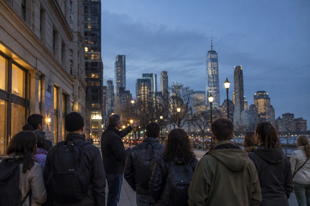
The pairing logic is simple: use the subway to reach a neighborhood, then walk it. The Financial District, Wall Street and 9/11 Memorial free walk on GuruWalk starts steps from the 4 and 5 trains at Wall St and the R at Rector St, and covers the Stock Exchange, Federal Hall and the memorial plaza. Guides work on tips, so the price is whatever you decide at the end.
If your day runs uptown instead, the free Central Park nature walk on GuruWalk covers the Ramble, the Lake and Bethesda Terrace, all reachable from the B or C to 72nd St or the 6 to 68th St-Hunter College. It is a quiet counterpoint to the crowded southern end of the park, and the guide sets the route so you are never lost on the loops alone.
For a paid option with food attached, the Chinatown and Little Italy food tour sits on top of the J, Z, N, Q, R, W and 6 lines at Canal St, making it one of the easiest tours in the city to reach without a cab. Six tastings add up to a real meal, so arrive hungry.
Night and Weekend Service: What the Map Does Not Tell You
The subway runs 24 hours a day, every day, but the map's frequencies change drastically by hour, and the weekend schedule is not the weekday schedule with fewer people on it. Weekend ridership has recovered to 88% of 2019 levels while weekday sits at 73%, so weekend trains run close to full while many weekday trains do not. Service changes and reroutes are posted on weekend notices, not on the standard map.
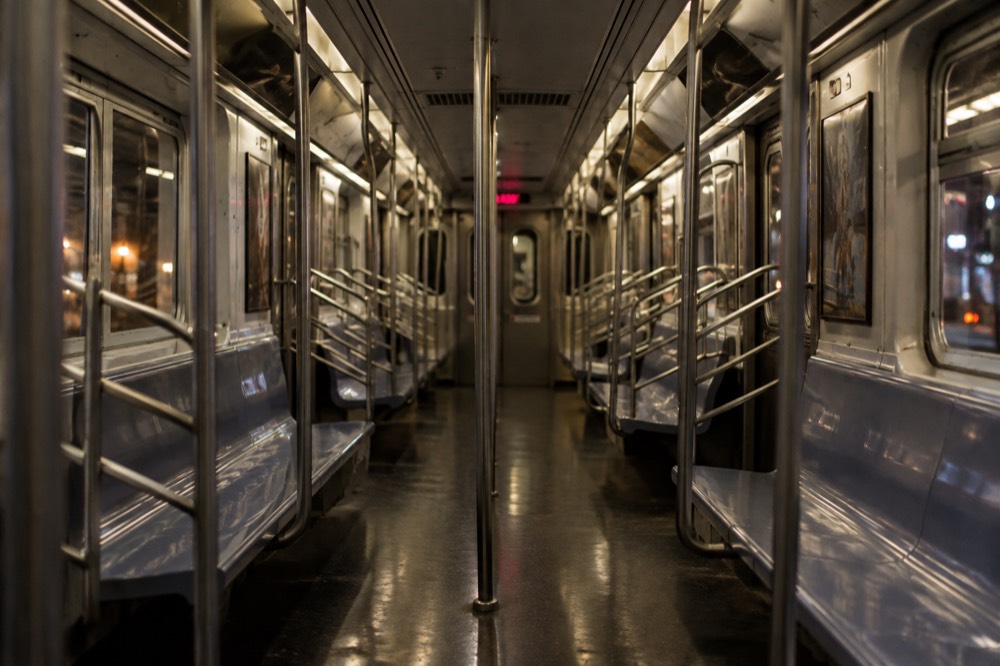
The practical habits: check the MTA's weekend service notices before planning a Saturday route, because express trains often run local and some lines skip entire sections while track work happens. Late at night, frequencies drop and express services may not run at all, so a route that takes 20 minutes at noon can take 45 at 1am. The map stays the same; the service on it does not.
The crowds have also shifted in a way that helps visitors. Because weekday ridership is the dimension that never fully recovered, a midday weekday platform is often calmer than a Saturday one, and the old advice to avoid rush hour matters less on weekends, when the trains are fuller relative to normal. The system's busiest hours for a tourist are now the ones you share with other tourists.
Once you have the map and the fares sorted, the rest of the planning is choosing what to ride toward. The things to do in NYC page is the full inventory, organized by borough and by type, and this site's New York City Travel Guide homepage collects the orientation pieces in one place.
Common Questions About the NYC Subway Map
The questions below are the ones visitors ask most about reading the map and paying for rides, answered with current, sourced figures. The short version: colors group trunk lines, letters and numbers name services, solid circles mean local stops, and every ride is a $3.00 OMNY tap with a rolling $35 weekly cap. Nothing needs to be bought in advance.
Is the NYC subway map free?
Yes. The official map is free on the MTA website and posted in every station, and printed copies are available at staffed booths. You do not need to buy anything to use the system beyond the fare itself, and there is no tourist map product worth paying for.
Do the colors on the subway map mean the trains are different?
The colors mark trunk corridors, not train types. The red 1, 2 and 3 share the 7th Avenue corridor, but the 1 runs local while the 2 and 3 run express, so two red trains at the same platform can make completely different stops. Always check the letter or number on the front of the train, not just the color.
What do the solid and open circles mean on the map?
Solid black circles mark local stops, where every service on the line halts. Open white circles mark stations that express trains skip. If your destination station is drawn with an open circle, an express train on that trunk may pass it without stopping, so check whether your specific service halts there.
Can I still buy a 7-day unlimited MetroCard?
No. The MTA stopped selling and refilling MetroCards on 1 January 2026, and the 7-day unlimited no longer exists. The replacement is automatic: tap the same contactless card or phone for every ride, and once your fares reach $35 in a rolling seven-day period, further subway and local bus rides that week are free.
Does the subway run all night?
Yes, the subway runs 24 hours a day, every day of the year. Frequencies drop sharply late at night, express services may not run, and weekend track work can reroute lines, so a route that takes 20 minutes midday can take much longer at 1am. Check service notices before a late-night trip.
Which subway goes to the Statue of Liberty?
No subway goes to Liberty Island; the only ferry authorized to land there is Statue City Cruises from Battery Park. Take the 4 or 5 to Bowling Green, the 1 to South Ferry, or the R to Whitehall St, and walk to Castle Clinton in Battery Park, where official tickets are sold.